
Archaeologists have used geophysical technology to learn more about what the ancient Roman town of Verulamium would have looked like.
Representatives from University College London joined forces with volunteers from Verulamium Museum to complete the work, which is taking place this week.
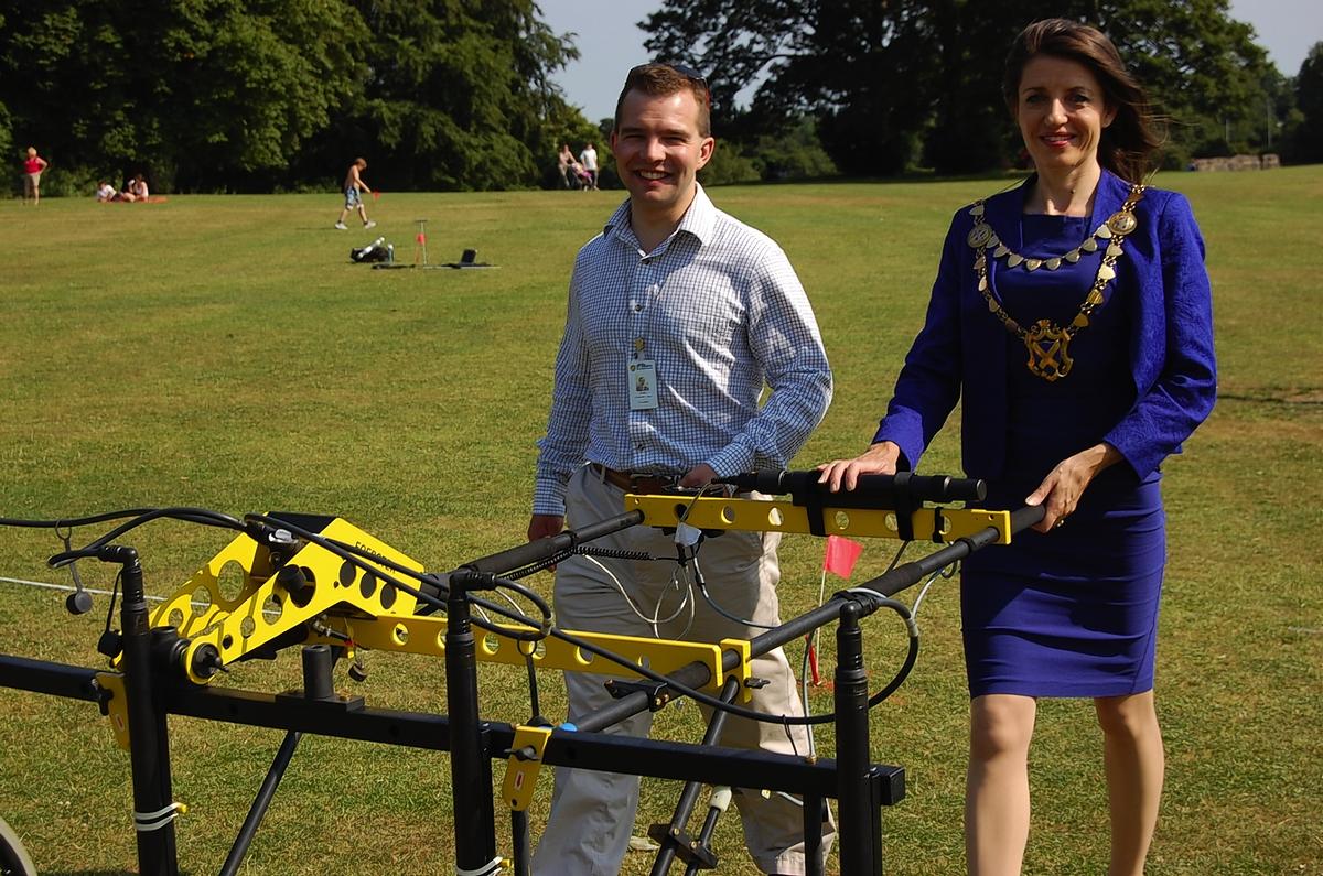
The technology allows archaeologists to survey and map subsurface archaeology in Verulamium Park without having to excavate.
Dr Kris Lockyear from the Institute of Archaeology at University College London, is leading the project.
He said: "Verulamium Park is the biggest site we are surveying.
"We aim to build up a complete picture of the ancient Roman Town of Verulamium that was located here from c.25BC to c.450AD."
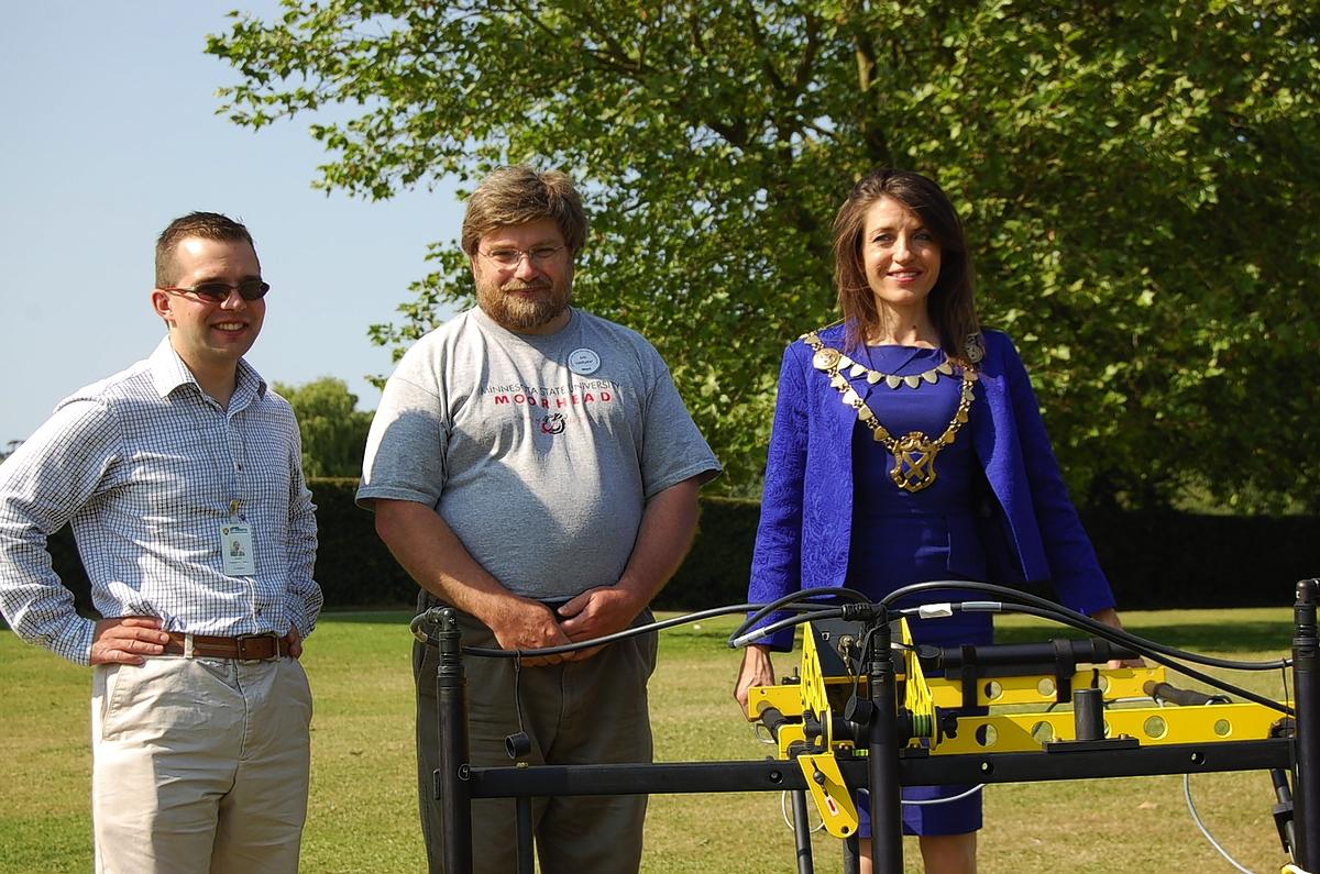
St Albans’ mayor, Annie Brewster, visited Verulamium Park on Tuesday so see how the experts are getting on.
She said: "As we are the largest of the four cities in Britain that do not still sit on top of their original Roman site, the results of this cutting edge surveying will be ground breaking.
"I would like to thank Dr Lockyear and his colleagues and volunteers, from groups such as St Albans and Hertfordshire Architectural and Archaeological Society, for conducting this exciting project in St Albans."
The results of the survey will be temporarily displayed at the museum later this year.
Councillor Daniel Chichester-Miles, portfolio holder for the environment at the district council, said: "The council is pleased to support this fascinating project that will provide more information about the Roman town of Verulamium.
"It is the first time that we will have a complete layout of the town other than that provided from aerial images and excavations that have been undertaken.
"The information will also help us to manage Verulamium Park."


Comments: Our rules
We want our comments to be a lively and valuable part of our community - a place where readers can debate and engage with the most important local issues. The ability to comment on our stories is a privilege, not a right, however, and that privilege may be withdrawn if it is abused or misused.
Please report any comments that break our rules.
Read the rules here